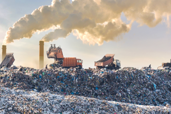

Google Earth now encompasses the 71% of the planet’s surface that is ocean. With the new ocean layer, you can take the plunge all over our planet, view content from BBC and National Geographic, and explore 3D shipwrecks like the Titanic. Also, with the new Google Earth 5.0 (beta) you can see how your community has changed over time, find out about coastal erosion, and much more.Although only about 10% of the sea floor has been mapped at a useful scale, this new tool will help with science, policy reform, education, and advocacy. With the public able to have this interactive experience with the ocean as well as, for instance, see evidence of global climate change, people’s perceptions may well change. As our current public opinion research is showing, and as our survey work a decade ago also demonstrated, the ocean needs all the help it can get as far as public awareness, education, and action.
Google Ocean has the potential for millions of people to get inspired, learn more about the ocean, and, we hope, help motivate them to take action to conserve the ocean and its great diversity of life. Of course, there is no substitute for getting out from behind the computer and literally immersing oneself in the world’s wonderful ocean as often as you can. However you like to visit our ocean planet, please remember to Seas the Day!
For more on related issues, Andy Revkin has a follow-up Dot Earth post with some thoughtful input from social scientists regarding.